Journal 4 · The method
Back to the roadHow a plot is tested
Rubies in Cabo Delgado lie in alluvial deposits of ancient river channels under a layer of cover soil. The method is built to answer one question fast: is there a productive layer on this plot, and where.
Step 1Map study
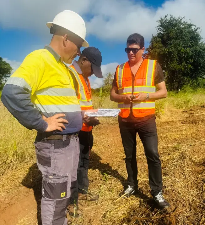
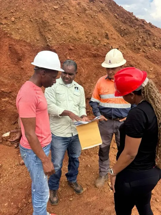
Geological sections and topography, including Soviet and British maps. Drill points are set in advance by GPS.
Step 2Lowlands first
For thousands of years rain and rivers carried material downhill, so low ground is the first to show whether stones are present on a plot.
Step 3Grid drilling
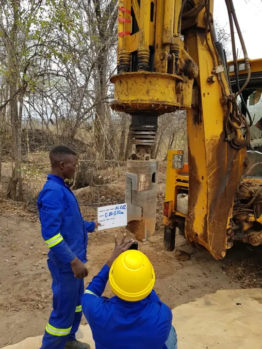
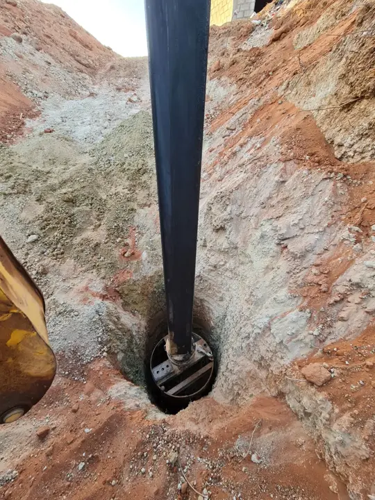
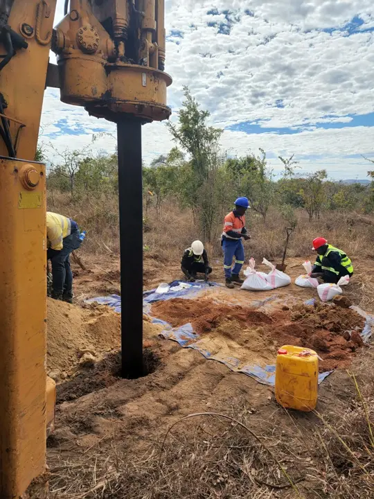
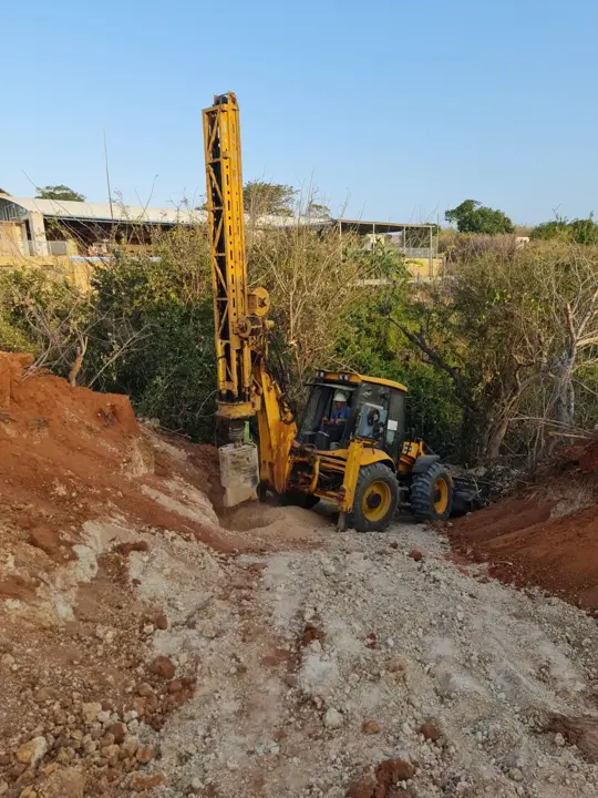
Exploration holes of about 400 mm on a regular grid, about every 200 m on large plots.
Step 4Sampling and washing
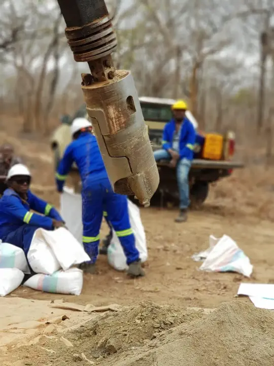
Samples are taken by depth interval, every bag is labelled, and our crew washes them on the mobile plant.
Step 5The verdict
If the lowland is positive, exploration moves upslope toward the source of the deposit. If it is negative, the client gets a recommendation to change the plot.